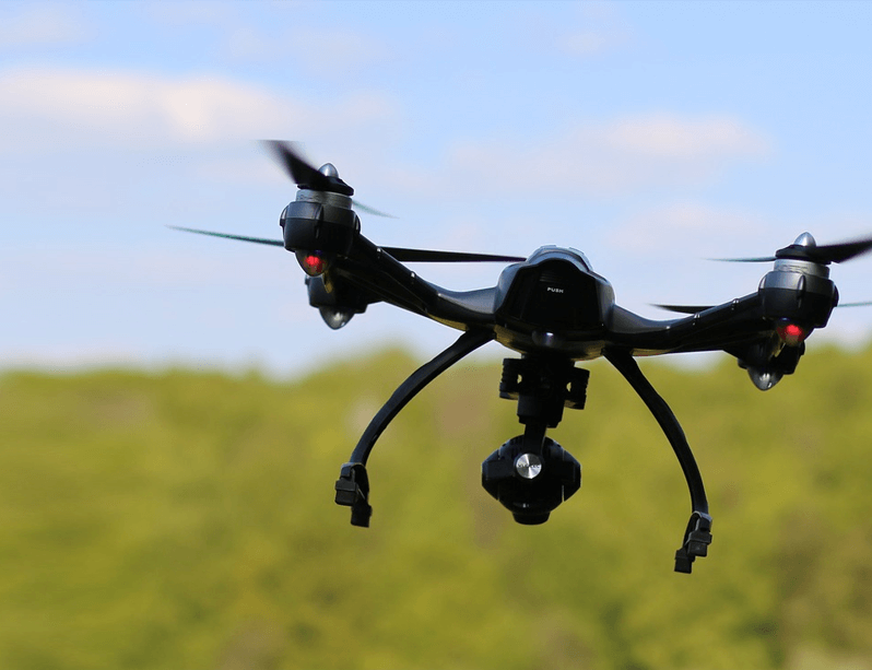
This is an era of Drones, Smart Robots, Nano Technologies, Artificial Intelligence, Smart Materials, and much more beyond that. The advancement is faster than it has ever been before. Technologies that are useful for society are blessings for all of us and it is the right time for us to grab the opportunity to make the most out of it. Drones are time and cost-efficient when compared to the traditional method followed for carrying out the required services.
All of the above listed and related activities are dependent on the RGB type of camera that captures ima ges with a certain overlap. The image capturing process is known as “data acquisition.” Once the data acquisition is done, the data is sent for data processing where the data is processed as per the project and the needs of the client. This include -
Apart from RGB Camera, these days Lidar Sensors are used for surveying to achieve more accurate outputs
Products and parts suffer wear and tear with time. Certain products are used or mounted in open. They are weatherproof but not for a long period of time. These defects are necessarily be monitored periodically in order to obtain efficient and optimized results. The below-listed areas are always in open infrastructure and observe the maximum effect of weather and other atmospheric conditions. Few of them are listed here -
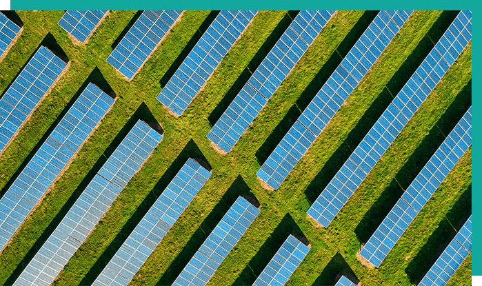
The above-listed activities and related projects may need a special and specific type of camera like a thermal camera, which detects the temperature of the object. A Thermal camera is mainly used for solar inspection and where temperature analysis is important. With the temperature analysis of solar panels, defects can be identified, worked on its repair and maintenance and panels can then generate more energy to store and supply. Timely maintenance is always recommended for such applications and products. Needless to say that the time required for the monitoring of these assets is much lesser than the traditional method of inspections.
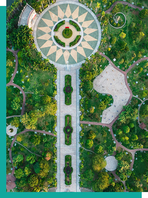
Buildings, monuments, towers, etc. can be modelled in 3D with the drone data capturing at different angles and processing it. It requires certain techniques of flying to capture images or videos at different angles. Once the data is acquired, it needs to be processed for the generation of a 3D model.
Mounting a zoom camera allows a user to do long-term surveillance at a particular location and even in a planned repetitive circuit.
This is useful for some industries as well as forest departments for anti-poaching surveillance. This application can be covered by an electro-optical infrared camera mounted on a high endurance drone. Day and night monitoring can be done with EOIR sensors. Industries can also use it for continuous monitoring for 24 hours.
Drones play important role in the fields of agriculture. It saves time. Increases efficiency. We all know that. But it’s beyond that. It can inform you about the quality of the crops. Find a solution and improve the quality of crops. For this, a Drone with multispectral cameras is capable of capturing images of the crops, which helps in analyzing the plant health and the productivity of the soil. This also helps in measuring soil fertility, irrigation, crop yield, etc., and NDVI (Normalised Difference Vegetation Index) data can be generated.
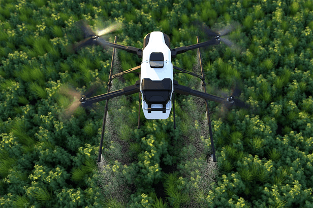
While spraying pesticides, it is obvious to spray them unevenly when doing it by hand. Also, it is HARMFUL to FARMERS. Drones with heavy payload capacities can be used for pesticide spraying in farms. The pesticide sprayer drone can have a tank of 5 litres/10 litres or even more, as per the design and capacity of the drone. They spray the contents evenly. Faster than a farmer can. Saves farmer from hazardous chemical reactions.
Drones made in India, Avix-Tech India, Helicopter UAVs in India, Defence Helicopter Drones in India, Photography Drones, Drone manufacturer in Rajkot, Gujarat,
Read MoreCopyright © 2021 Innovative Unmanned Systems. All rights reserved.


 +91 72290 66651
  info@unmannedinnovations.com